
Stream Reach Assessment Tool Overview
Land use decisions upstream affect water quality downstream. A small headwaters stream might be influenced by land use on as little as a few thousand acres; for a larger tributary, as many as two million acres may affect the river’s chemical and biological traits. Understanding impacts at different scales is challenging. In order to accurately assess pollutant loads in streams and evaluate the quality of natural resources that are supporting clean water, the Stream Reach Assessment Tool (SRAT) was designed to integrate dozens of datasets to provide the following information:
The mean annual pollutant load delivered to each of over 15,000 stream reaches in the Basin from the immediate catchment of the stream reach. These loads are expressed as total loads (lbs/year) and loading rates (lbs/acre) for total nitrogen (TN), total phosphorous (TP) and total suspended sediment (TSS), and are segregated into each of the major sources affecting water quality (e.g., point sources, agriculture and urban/suburban runoff)
The mean annual in-stream concentration (in mg/l) for each of the pollutants analyzed that aggregates pollutant loads from all upstream sources.
Location and relative impact of point sources across the Basin.
An evaluation of the landscape features within a given stream reach catchment that influence its’ ability to produce clean and abundant water (A2PCAW). This dataset aggregates information on natural features and functions across the immediate catchment and within the adjacent riparian zone.
Due to the influence of tides in coastal areas, it should be noted that SRAT estimates of TN, TP and TSS in these areas are not as accurate as they are in non-tidal areas due to the mixing of freshwater with estuarine and/or ocean waters which may significantly alter estimated pollutant concentrations.
As part of the SRAT development process, a limited amount of calibration was done to improve the overall accuracy of estimates produced using this approach. A more detailed explanation of this calibration is provided here.
Purpose and DRWI Phase II+ Planning
The SRAT is intended to create a consistent way to compare the potential return on investment from restoration and land protection activities. The tool is intended to be combined with local knowledge and considerations about feasibility of project success as part of a comprehensive approach to vetting and adjusting existing focus areas and strategies.
The Open Space Institute (OSI) and the National Fish and Wildlife Foundation (NFWF) intend to use the tool to inform more transparent decision-making in the awarding of capital grants and to help evaluate specific restoration and/or land protection capital projects
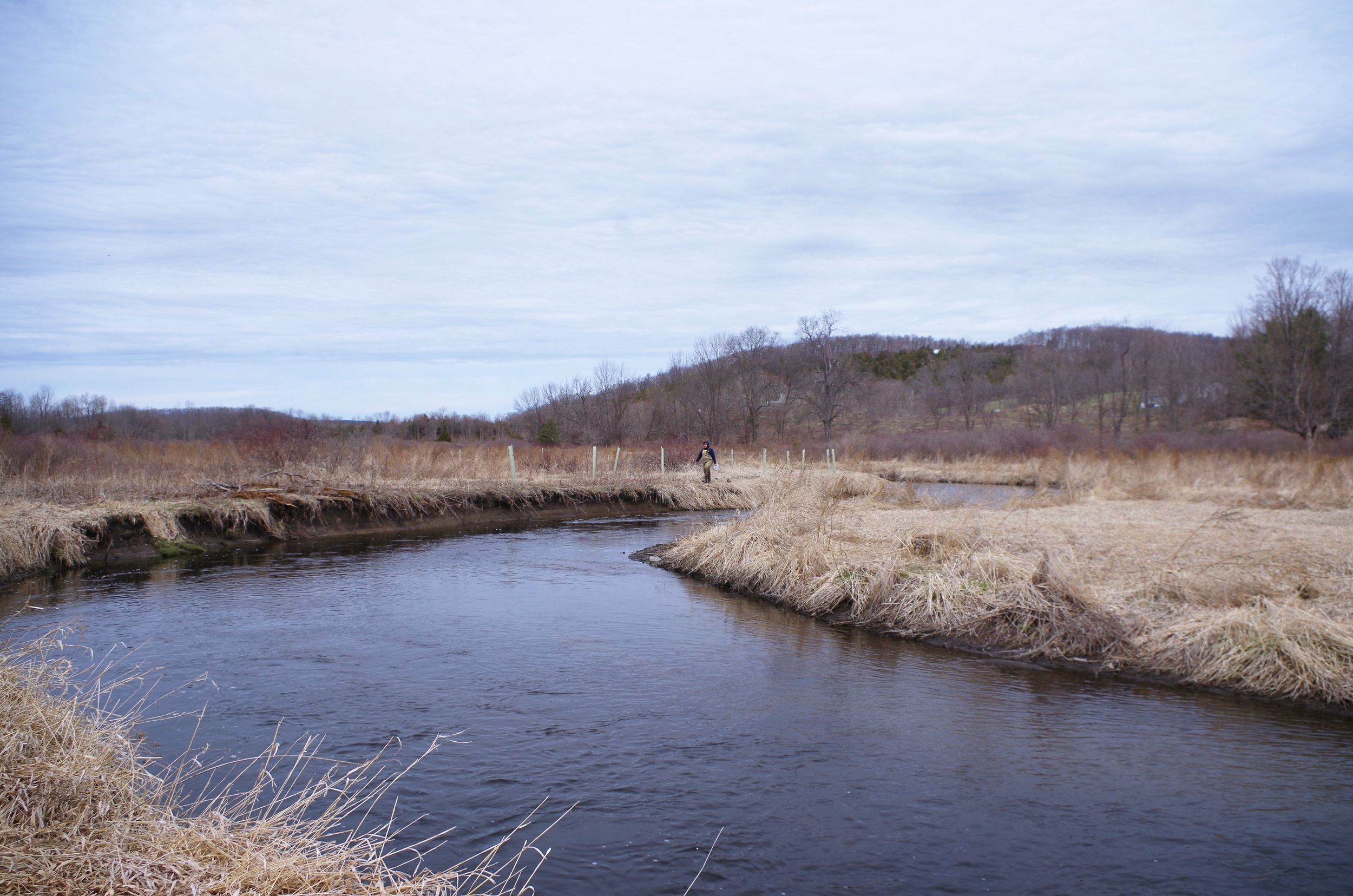
Pictured above: Riparian corridor restoration on the Upper Paulinskill River, New Jersey Highlands Cluster.